

Route map and progress
Follow along with my ongoing trek along the England Coast Path. As an unfit 60-year-old proving that it is never too late to step outside, I share the interactive stages, terrain details, weather triumphs, and the pure therapy of walking with friends and family.
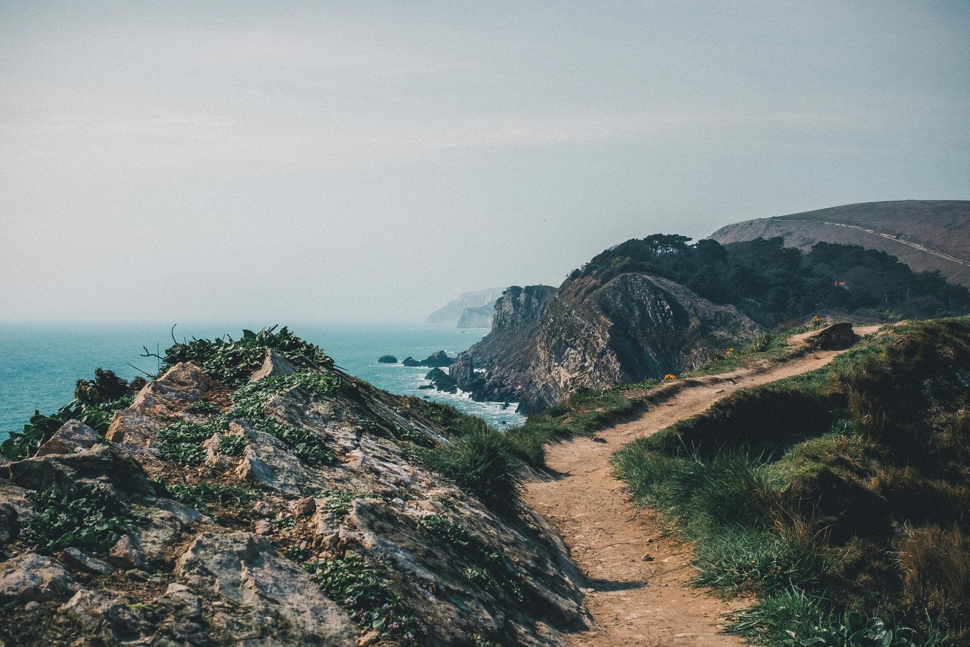
Holywell to Newquay stage
Completed: Tuesday 15th September
Terrain difficulty: Moderate, with undulating coastal dunes and cliff edges
Walking buddies: Pat
This leg took us from the golden sands of Holywell Bay, across warm, breezy headlands, and into vibrant Newquay.
It was the perfect day for walking. We set off up the dunes to the right of Holywell Beach. The first section is all uphill, and I was puffing by the time I reached the top. The route is well signposted and takes you around the perimeter of a golf course, so I kept my eyes open and my helmet on!
As we passed the golf course, a farmer was rounding up his sheep on a quad bike. Danger on both sides! My mind drifted to my girls and the summers we spent in Donegal. Whenever I got the photos back from being developed, 80% of them seemed to be of sheep and hardly any of the family. Their little voices must have been saying, “Get more sheep!” It’s strange where your mind wanders on a walk.
We couldn’t walk out to Kelsey Head because we didn’t want to disturb the sheep, and we also decided not to visit Polly Joke Beach.
- Original name: The beach was originally called Pol Lejouack in the old Cornish language.
- Meaning: It translates to “Jackdaw Cove”, named after the black-and-grey birds that still nest in the nearby sea cliffs.
- Name evolution: Over generations, local people saying Pol Lejouack quickly made it sound like “Polly Joke”.
I had to Google how it got its name. My mind is full of useless information!
We decided to carry on to Crantock Beach. We passed the Bowgie Inn, which looked like a lovely place to stop for a bite to eat, but I had my heart set on ice cream.
Leaving West Pentire, we picked up the Coastal Path beside Crantock Bay Holiday Apartments; the path runs along the right-hand side. It is not very well signposted, and you may feel as though you are going the wrong way, but look out for the coffee shop and spa and you should find it.
The walk down to Crantock Beach is deceiving. You think you will simply be heading downhill, but it is down, up, and down again. The path can be single-file in places, and we had to pull in several times to let people pass — just like cars. As we walked past a field of vegetables, Pat and I disagreed about what was being grown. He thought they were turnips and I thought they were beetroot. We could easily have picked one; they were right there for the taking! We then walked through the grassy sand dunes and finally reached the beach.
Crantock Beach is a huge stretch of sand hugged by grassy dunes. We watched people paddling across the estuary, which we knew we would need to cross to reach Newquay. But first, I needed ice cream — and there it was, like a mirage: Scoops Ice Cream and Coffee Bar. Happiness is sitting on a beach in the sunshine, eating ice cream.
The lady serving us told us that, if we waited 10 to 20 minutes, the footbridge across the estuary would be open and we could cross without getting wet. We sat at the tables, savoured our ice cream, and watched the footbridge being built with wooden planks. At about 11:30, we headed across towards Newquay. There is also a ferry across the estuary when the tide is high.
Once across the bridge, you are greeted by a cliff full of steps. I had to stop halfway up to admire the view. At the top, there was a bench where we sat and chatted with a lovely lady who was staying nearby and looking after her brother’s dog while he was away on holiday. Her brother was an artist called John Downes. After our walk, I Googled him in the hope of finding a picture of Crantock Bay, but instead fell in love with a painting of kites. I will have to save up for it!
At the top of the steps, there is a café and a pub, both of which looked like great places for something to eat or drink. But, having just eaten ice cream, we continued on towards Newquay. We asked for directions at this point, as there were no signs for the path. We turned right at the top of the steps, right again at the end of the road, then left at the roundabout. We passed another golf course — helmet on again! The views were panoramic, looking out over Newquay.
It took us just under three hours to complete the walk, including our ice-cream stop. It may take longer if you decide to walk around the headlands.
We decided to catch the bus back to Holywell — big mistake! I thought I was going to die. It was a double-decker bus travelling along tiny country lanes, and I had to close my eyes several times. Then we met another bus coming the other way, and our driver had to edge further and further into the bushes so they could pass. I couldn’t look. We survived, and when I got off the Bus i told the driver he was a brave man. As we got off the Adam who works at where we were staying smiled and said hair raising. I'm just happy to be alive.

Interactive trail map overview
Track the journey step by step across England's rugged shoreline. Our route documentation captures elevation gains, scenic vantage points, cosy pub lunches, and memorable encounters with fellow ramblers. Proof that you do not need peak fitness to enjoy the great outdoors—just sturdy boots and an open heart.
What lies ahead on the trail
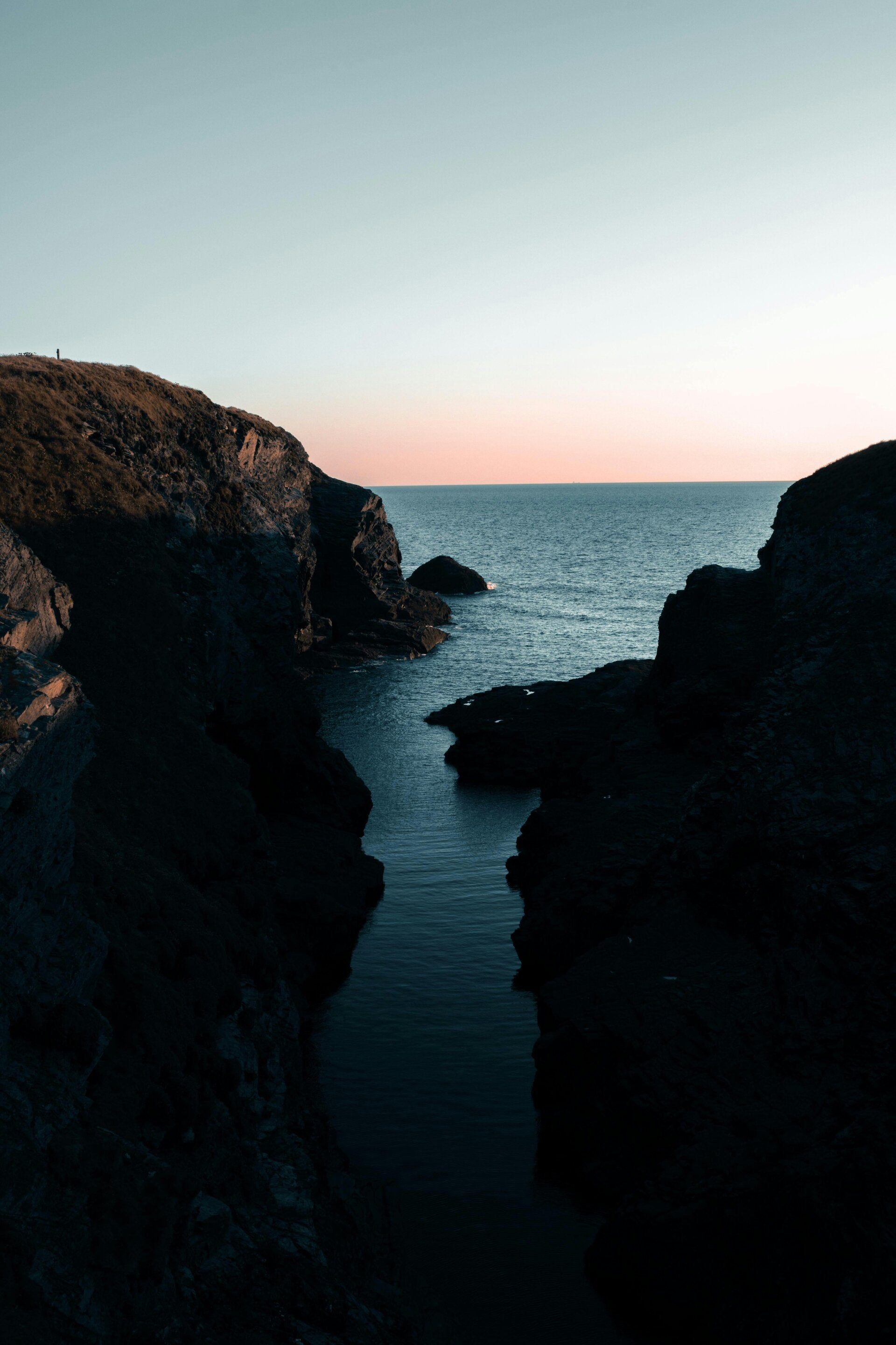
Continuing northwards beyond Newquay, the path promises more dramatic sea views, bracing Atlantic weather, and peaceful moments connecting with nature. Whether tackling a single gentle mile or a multi-day hike, this journey is all about laughter, therapy, and sharing the adventure with loved ones.
Create Your Own Website With Webador